Sports routes
-
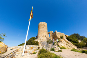
From Vilassar de Dalt to Mataró (Stage 2 - Central Axis)
The Central Axis of Maresme is a route in stages, both by mountain bike and on foot, that joins the municipalities of Montgat and Malgrat de Mar through an itinerary that invites us to get to know a good part of the inland villages of the Maresme. This itinerary offers a combination of natural, cultural and historical heritage of the Maresme region, with constant panoramic views of the coast and the Maresme interior.
Argentona, Cabrera de Mar, Cabrils, Mataró, Vilassar de Dalt- 4 hores 10 min (A peu) 1 hora 30 min (En BTT)
- 12,45 km
- 323 m
- 420 m
-
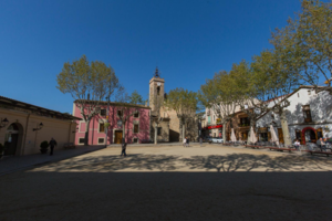
From Montgat to Vilassar de Dalt (Stage 1 - Central Axis)
The Central Axis of Maresme is a route in stages, both by mountain bike and on foot, that joins the municipalities of Montgat and Malgrat de Mar through an itinerary that invites us to get to know a good part of the inland villages of the Maresme. This itinerary offers a combination of natural, cultural and historical heritage of the Maresme region, with constant panoramic views of the coast and the Maresme interior
Alella, Montgat, Premià de Dalt, Teià, Tiana, Vilassar de Dalt- 5 h 10 min (a peu) 1 hora 40 min (BTT)
- 15,17 km
- 485 m
- 354 m
-
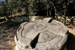
From the Alba fountain to the Conreria (SL-C 146)
It is a short and steep route that goes from the Tiana sports area to the Col de la Conreria along the path to the Font de l'Alba. In the past, this fountain was a traditional place for walks by the inhabitants of Tiana. But after the great fire that the Conreria suffered in 1994, the fountain lost some of its charm and appeal. At present, the place has been converted into a recreation area and is adjacent to the Astronomical Observatory of Tiana, where there is a Park Information Point. Most of the route passes through sunny areas, with bushy vegetation. The excursion passes in front, in La Conreria, of the cemetery of the infected, where the victims of the icteroid typhus plague, known as cholera or yellow plague, which suffered in the Barceloneta neighborhood of Barcelona in 1870, are buried.
Tiana- 35 min
- 1,23 km
- 116 m
- 116 m
-
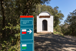
The hermitage of Erola
Pleasant walk along a wide, shady, and mostly flat path for most of the route, with two sudden but short slopes. The itinerary is marked as a local trail (SL-C 78) with wooden markers. Recommended for all audiences. It's advisable to bring water and appropriate footwear. Please maintain the tranquility of the environment and do not litter.
Tordera- 30 min
- 1,70 km
- 39 m
- 39 m
-
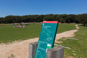
The Corredor Plain
An easy and enjoyable walk along wide paths and gently sloping trails. The route is marked with marks bearing white and green markings, indicating SL-C 72. It is exclusive for pedestrians and recommended for all audiences. Some sections coincide with cycling tracks
Dosrius- 45 min
- 2,2 km
- 37 m
- 37 m
-
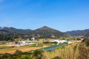
From Calella to Maçanet
Circular mountain bike route with departure and arribal point in Calella.
Calella, Malgrat de Mar, Palafolls, Tordera- 6 h
- 61,55 km
- 849 m
- 848 m
-
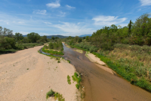
The lower course of the Tordera river
One-way route that takes us to the lower course of the Tordera river and allows us to discover all of its natural attractions.
Palafolls, Tordera- 2 h 11 min
- 19,36 km
- 70 m
- 17 m
-
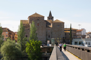
The Tordera river delta and Palafolls
Perfect route to discover the Tordera delta plain and the town of Palafolls.
Malgrat de Mar, Palafolls- 1 h 29 min
- 11,91 km
- 36 m
- 36 m
-

Malgrat, Santa Susanna and Pineda
A varied route where we visit the coastal towns of Malgrat de Mar, Santa Susanna and Pineda de Mar
Malgrat de Mar, Pineda de Mar, Santa Susanna- 3 h 7 min
- 21,83 km
- 235 m
- 235 m